Real-time river level prediction on the Dart river
Why?
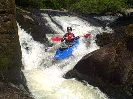
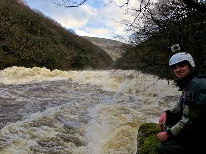
Hidden away on forest on Dartmoor, is one of best whitewater rivers in the world. However there is a catch! The river level is usually too low and only after rainfall is it fun to kayak. Even then, it can rise and fall within 6 hours.This website displays real-time river level predictions to help kayakers plan their adventures.
How?
There is an Environmental Agency river level gauge which usually only updates a couple of times a day and a rain gauge high in the catchment that updates every 15 minutes.Using this information we can predict the river level from the latest EA update to the present and then using the weather forecast from the Met Office make an educated guess about the future!
I use a machine learning model which learns from years of historical data in order to make accurate predictions in the future. For more details see the code here.